I love Google Maps, and especially Google Street View. I use it a lot. Not just for directions, but to understand places, and especially for looking up history. Where is that building? What was there before? How has it changed? Where was that movie location filmed? Street View is one of those tools that still feels like magic, even though most people take it for granted now. You can drop onto almost any road in the world and look around as if you’re standing there. That can be incredibly useful – and just plain fun.

Other than helping travelers, historians, small businesses, tourists, researchers, photographers, and regular people, it’s also one of the best accidental history projects ever created. Google probably thinks of Street View as mapping data, but it’s also a time machine. I use it all the time for research. I use it to compare buildings, to find old signs, street layouts, storefronts, road changes, and little details that most people don’t even think about.
So, after years of using Google Street View, this idea popped into my head – which I assume Google has already thought of, but hasn’t done it yet, or hasn’t made it live yet… Street View for railroad lines.
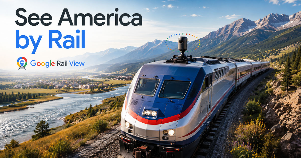
Not “near the tracks.” Not “from the crossing.” Not “from the road that runs kind of parallel for a mile and then turns away.” I mean mounting a 360 camera right on top of a locomotive. Sure, looking ‘backwards’ you’d have a train behind you, but the other ~240 degrees would be amazing!! Just think about all the places that roads don’t go!
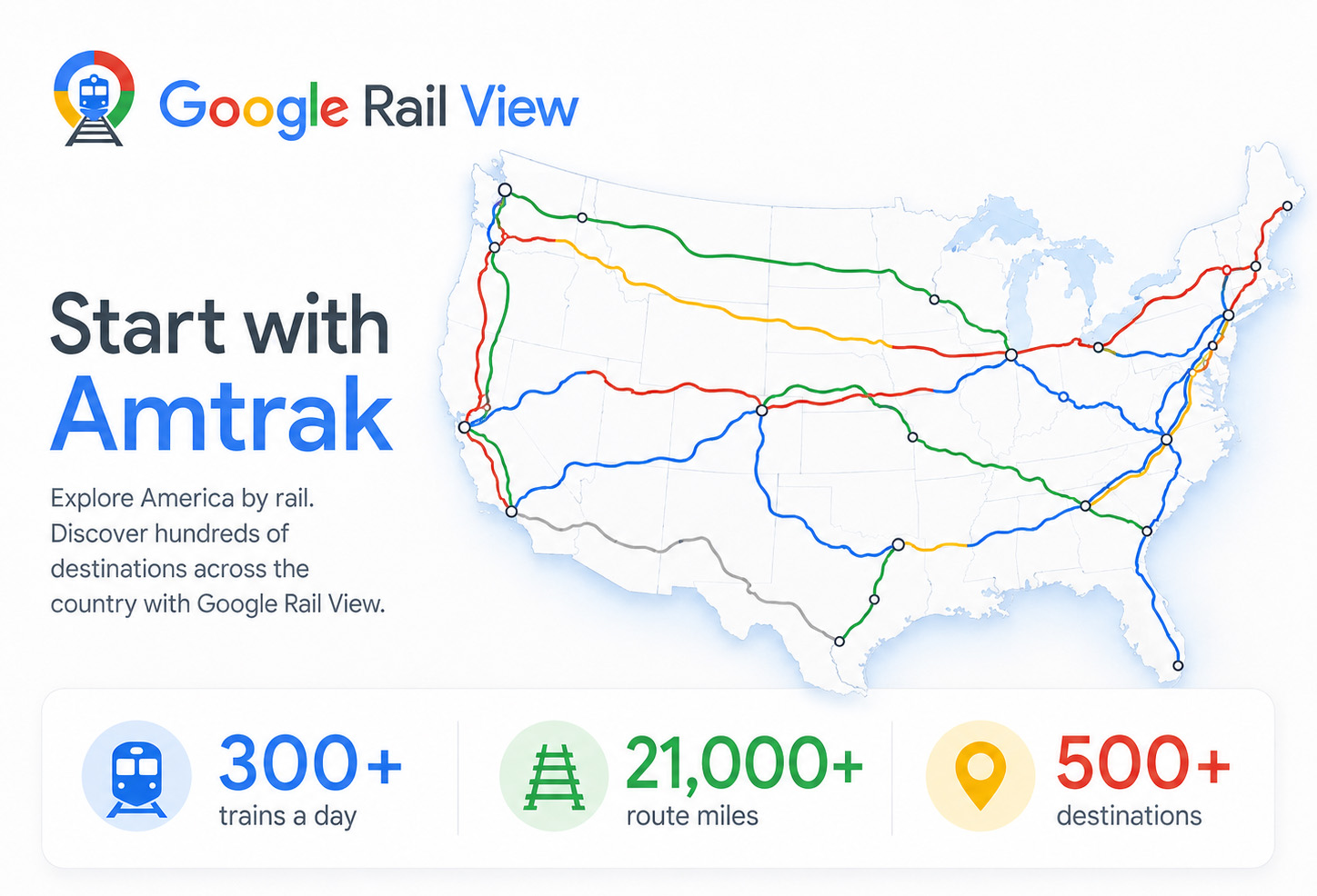
Amtrak operates more than 300 trains a day, over about 21,000 miles, serving more than 500 destinations in 46 states, Washington, D.C., and parts of Canada. Google already knows how to capture Street View from cars, backpacks, boats, snowmobiles, motorcycles, and other oddball setups. So, why not trains?
Start with Amtrak. Start with the long-distance routes. California Zephyr. Southwest Chief. Empire Builder. Coast Starlight. Texas Eagle. City of New Orleans. Northeast Corridor. Pacific Surfliner. Those views alone would be wonderful to cruise from right at home.
Sure, there’d be technical, legal, safety, and railroad bureaucracy issues, and probably dumb, overreaching laws. But this shouldn’t be that hard of a thing to do. In fact, it should be far easier than the Street View cars. It’s basic project management, with a pretty cool upside.
But, is there value or monetization there to make it worth while?
For rail fans, again, it would be amazing! You could virtually ride the front of the train through mountain passes, small towns, industrial yards, deserts, river valleys, tunnels, bridges, and stations. Not a polished promotional video. Not a drone shot. A real, navigable, geographic record of the railroad lines. For passengers, it would help people understand what they’re going to see before they book a trip. Amtrak already sells the romance of rail travel, so why not let people preview the actual route? (And please – try giving me the argument like ‘why would people do it once they’ve seen it in pictures?’ – DUMB! Why go to the Grand Canyon, or the Eifel Tower, or the Louvre if you can see all that stuff in photos! Duh.)
For historians, it would be priceless. Railroad corridors are some of the oldest transportation routes in the country – and absolutely the LEAST photographed! They pass through places most people can’t and never will see from the road. Old depots, grain elevators, factories, bridges, sidings, abandoned spurs, and downtowns that grew up around the tracks. Such great history!
For emergency planning and infrastructure, it could also be useful. A visual reference of crossings, bridges, access roads, signals, curves, vegetation, drainage, nearby structures, and trackside conditions.
For Google, it would be another giant leap in making Maps more complete. Street View changed how we understand roads. “Google Rail View” could change how we understand rail corridors – and maybe that’s how Google monetizes it.
I suggest starting with Amtrak because it’s the obvious first partner. It has national reach, and We The People own Amtrak. (Amtrak isn’t a federal agency, but it was created by Congress, and the federal government has major control over it.) So The People should be able to make it happen, as it’s our tax dollars that pay for Amtrak. Plus, the people already know the passenger routes, so it could be a public-facing travel and marketing opportunity.
Amtrak covers a lot, but it doesn’t cover everything. Freight railroads reach thousands of places Amtrak doesn’t go. Industrial branches, agricultural lines, ports, mines, yards, river terminals, manufacturing corridors, and small towns that passenger trains have not served in decades. So, after the Amtrak lines are recorded, expand to BNSF, Union Pacific, Norfolk Southern, CSX, Canadian National, and any other railroad that’s open to it. Even though they already have all their rail mapped, LiDARed, and know every inch of elevation – I doubt they have anything like what “Google Rail View” could be.
Ultimately Google created Street View to sell ads and drive traffic to their services. This shouldn’t be any different. They built the technology. They would run the recordings and process the imagery, they deserve to make money on the creation – while also benefiting the public.
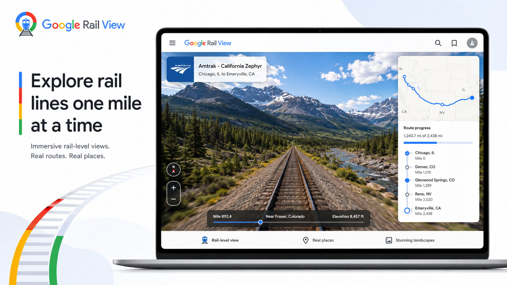
PLEASE, Amtrak and Google – do this. Get on board. (HA!) Put a camera on the front of a locomotive. Start recording the routes. Let people explore the country by rail, one mile at a time. Once people can “ride” the California Zephyr through the Rockies in “Google Rail View” or follow the Southwest Chief across New Mexico, or roll into small towns from the same angle generations of travelers saw from the train, there’s a good chance more people will WANT to ride Amtrak.